Pléiades 1B set for Launch on December 1, 2012

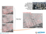
Astrium Services is pleased to announce to customers, partners and the remote-sensing industry that Arianespace has set the launch of Pléiades 1B for Saturday, December 1, 2012 at 2:01 UT. The second satellite in the Pléiades constellation will be launched by a Soyuz rocket from Europe’s spaceport in French Guiana.

Once Pléiades 1B has joined Pléiades 1A in orbit, they will form a constellation of identical twin satellites operated by Astrium Services. The two satellites will be phased 180 degrees apart on the same orbit to ensure daily revisits to any point on the globe. Read more...


The Cricket's Chirp

Have a look at the lighter side of Apollo Mapping and its original comic strip. Read more...


  MONTHLY SPOTLIGHT    


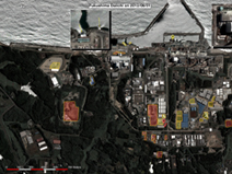
Astrium Monitors Work Underway at the Fukushima Nuclear Power Plant

GO Monitor tracks clean-up and repair operations at the Fukushima nuclear power plant.Read more...


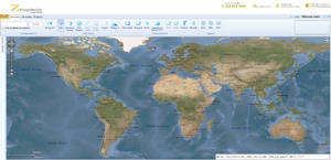
Image Hunter - The Industry’s First Multi-Source Imagery Search Tool

Features previews & online ordering of DigitalGlobe, GeoEye & Astrium data. Read more...

  TIPS & TECH    


Free For All - SPACE

An ArcGIS toolbar for crime analysis. Read more...


Free For All – Global Multi-Resolution Topography (GMRT)

A free elevation dataset with global bathymetric data. Read more...


New RapidEye White Paper: The Value of the Red Edge Band

Find out more about RapidEye’s red edge for use in agriculture, forestry and more. Read more...

   

Out of This World - NuSTAR in Action

An update on the incredible images the X-ray telescope, NuSTAR, has provided us with. Read more...


Reaching Orbit - The International Space Station

An update on recent activity aboard the International Space Station. Read more...
   

G-FAQ – What is the Importance of Geographic Transformations in ArcGIS?

We look at datums, coordinate systems & more in an exploration of geographic transformations. Read more...


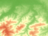
Working In GDAL (WIG) – Creating a Topographic Position Index Map

GDAL is free and can convert elevation to topographic position index. Read more...

   
  PRODUCT UPDATES    


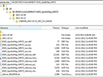
Change to RapidEye FTP Delivery Structure

Changes that will make downloading large datasets easier. Read more...


DigitalGlobe Policy Change – Multi-Sensor Stereo Order Fulfillment

It is now possible to fulfill both tasking and archive stereo orders with data from WorldView-1 and 2. Read more...


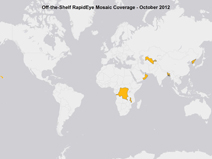
Update on 5-meter RapidEye Mosaics

These medium resolution natural color mosaics are competitively priced. Read more...


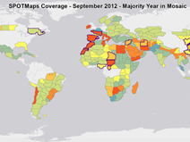
Monthly Update on Astrium GEO’s Countrywide 2.5-meter SPOTMaps

Check our monthly piece for details on updated SPOTMaps coverage.Read more...


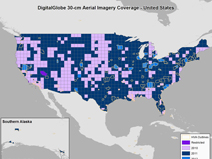
Update on DigitalGlobe’s Precision Aerial Imagery Program – USA & Europe

TA monthly update on the most complete USA and EU aerial database. Read more...

   
  GEOGRAPHY MATTERS    


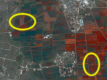
Our Changing Landscape – Syrian Bombs

RapidEye imagery shows significant, continued shelling in the areas surrounding Aleppo, Syria. Read more...


Outside the Box – Waste to Energy

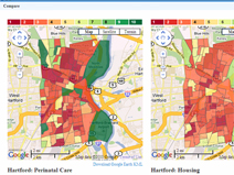
Is it better to bury or burn the trash we dispose of daily? Read more...


Small World – Palo Alto, California

This edition of Small World takes us to an idyllic West Coast college town. Read more...


Back to School – Prairie Dogs

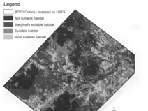
Landsat 7 imagery helps to predict preferred prairie dog habitat. Read more...


Apollo News Snippets – November 2012

Snippets of interest for the geospatial community. Read more...


Apollo Mapping Has Gone Social

Are you connected to us on Twitter and LinkedIn? Read more...