What Does the Combination of DigitalGlobe and GeoEye Means to Our Industry?

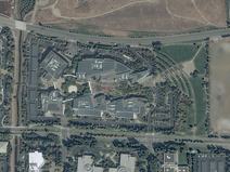
By now, the majority of our readers have heard about the pending combination of DigitalGlobe and GeoEye – and very likely you have seen news that covers the spectrum from positive to neutral to negative. Some of you may have formed your own opinions on the combination of the two leading high-resolution satellite imagery providers; and as you can imagine, the Apollo Mapping team has its own strong, positive opinion of this admittedly expected news story – and we say this story was expected given GeoEye’s recent loss of a portion of its US military contracts. Read more...


     

The Cricket's Chirp

Have a look at the lighter side of Apollo Mapping and its original comic strip. Read more...


  MONTHLY SPOTLIGHT    


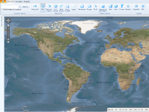
Image Hunter - The Industry’s First Multi-Source Imagery Search Tool

Features previews & online ordering of DigitalGlobe, GeoEye & Astrium data. Read more...


A Change in DigitalGlobe Satellite Imagery Pricing

Imagery that is 90 days old or younger will now be priced at tasking costs. Read more...

  TIPS & TECH    


Free For All - OSM to GPX or Garmin

A freeware tool to convert OSM data for use in your hand-held GPS unit. Read more...


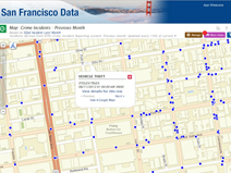
Free For All – Bing Maps Imagery Date Finder

A free tool to check the date of imagery in Bing Maps and Virtual Earth. Read more...


Working In GDAL (WIG) – Creating a Color Relief

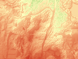
GDAL is free and can convert raster elevation data to a color relief. Read more...


G-FAQ – Why is Bit Depth Important? Part 2

Part II of a look at bit depth and its importance to ordering satellite imagery products.
Read more...


Reaching Orbit - The Morpheus Project

A report on NASA’s mission to develop cleaner, safer and cheaper lunar lander technology. Read more...


Out of this World - The Phoenix Galaxy Cluster

A newly discovered cluster challenges commonly believed interstellar laws. Read more...

  PRODUCT UPDATES    


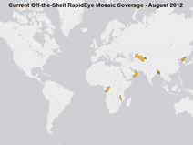
New Product – Full Country 5-meter RapidEye Mosaics

These medium resolution natural color mosaics are competitively priced. Read more...


Update on DigitalGlobe’s Precision Aerial Imagery Program – USA & Europe

A monthly update on the most complete USA and EU aerial database. Read more...


Monthly Update on Astrium GEO’s Countrywide 2.5-meter SPOTMaps

Check our monthly piece for details on updated SPOTMaps coverage. Read more...

   
  GEOGRAPHY MATTERS    


Our Changing Landscape – The Deepwater Horizon

RapidEye imagery shows the variability in the 2010 Deepwater Horizon oil slick. Read more...


Outside the Box – Sewers and Geothermal Energy

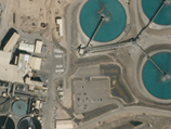
Can urban sewer systems provide a viable form of energy? Read more...


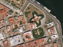
Small World – Havana, Cuba

We travel across the Atlantic to this month’s Caribbean destination. Read more...


Back to School – Community Mapping

Google Earth helps urban residents map health food and exercise choices. Read more...


Apollo News Snippets – September 2012

Snippets of interest for the geospatial community. Read more...